

From Pak Tam Au(北潭凹) to Shui Long Wo(水浪窩) of Kei Ling Ha(企嶺下)
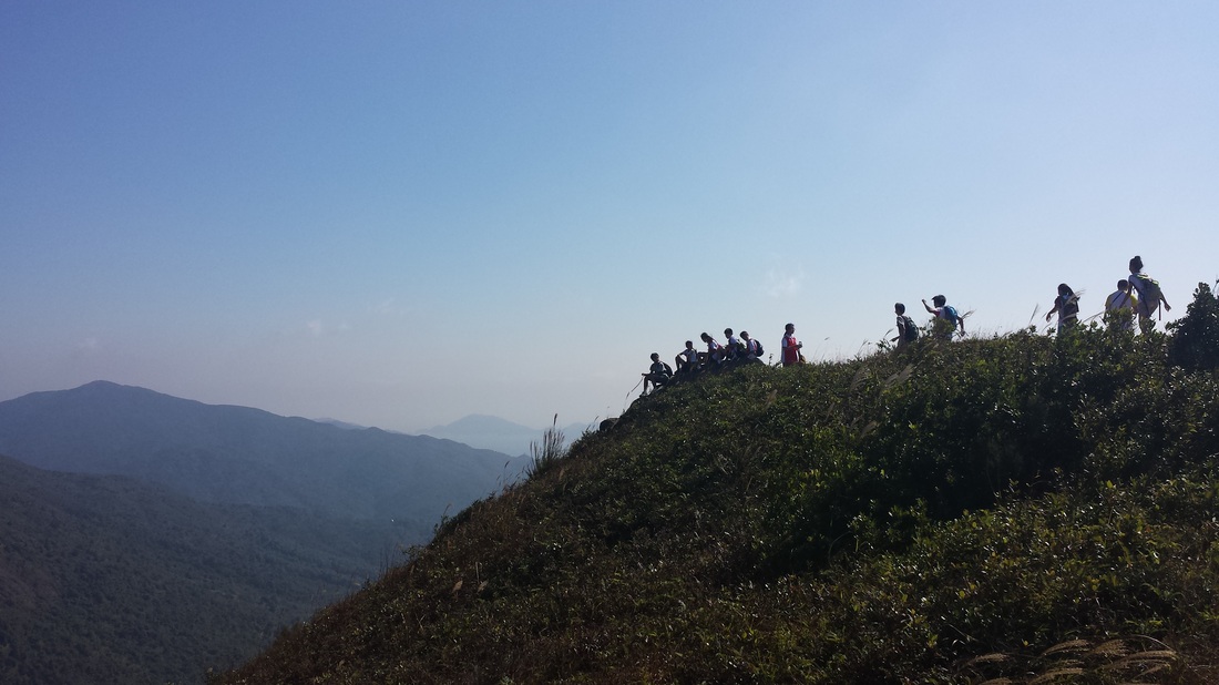
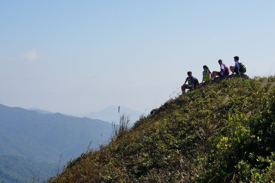
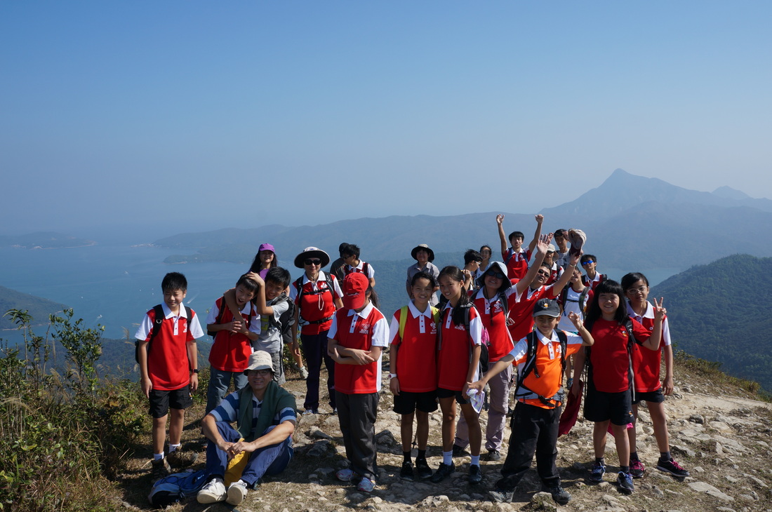
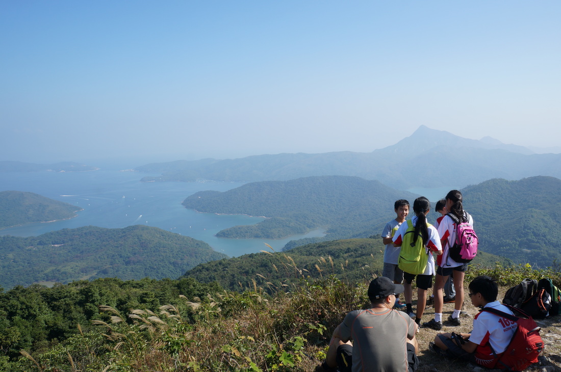
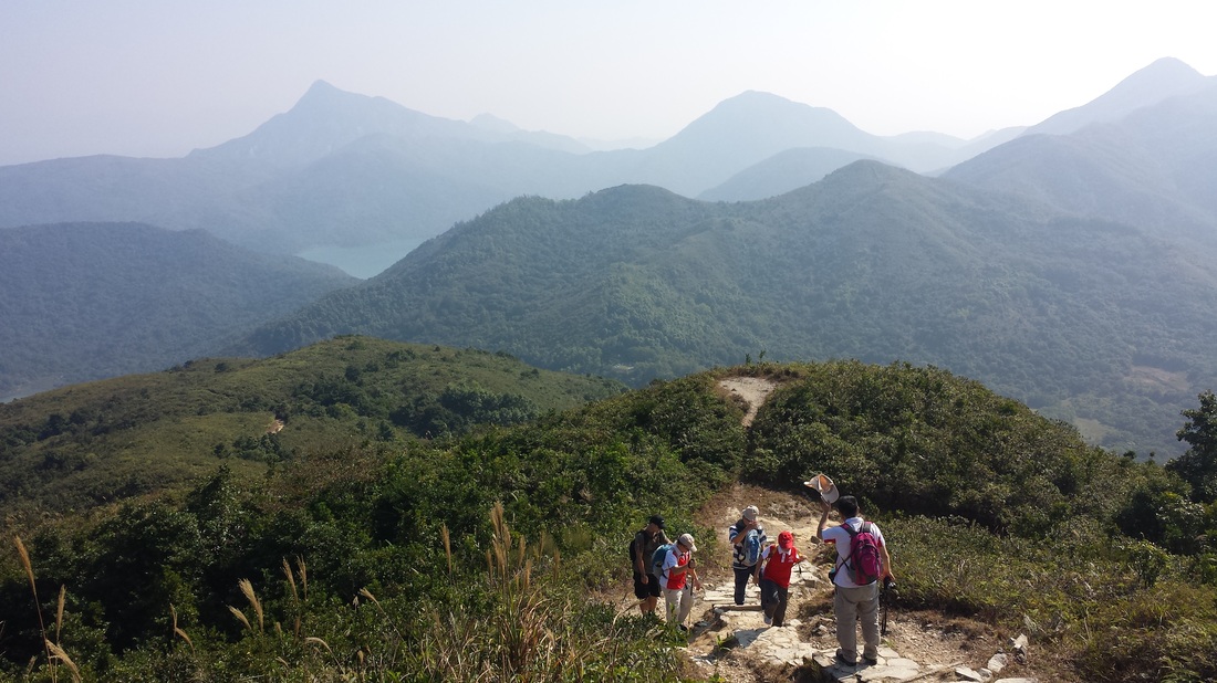
The route climbs towards Ngam Tau Shan. Once in the uplands there are memorable views in almost every direction: east to the ocean coast, north across Tolo Channel, west to Tai Po, and south to Ma On Shan. Section Three includes some very strenuous climbs over three mountains, each almost 400 metres high.
The route climbs towards Ngam Tau Shan. Once in the uplands there are memorable views in almost every direction: east to the ocean coast, north across Tolo Channel, west to Tai Po, and south to Ma On Shan. Section Three includes some very strenuous climbs over three mountains, each almost 400 metres high.
 RSS Feed
